World Wind 1.4.0 License model:
Free
Limitations:
Not available
Operating systems:
Windows 2000, Windows XP
Additional requirements:
Windows 2000/XP, Microsoft .NET Framework 2.0, DirectX 9.0c drivers
Publisher's description NASA being the big name that it is, we expected its 3D global-imaging program to be made of sterner stuff. Unfortunately, it fell flatter than a collapsed playing-card house.
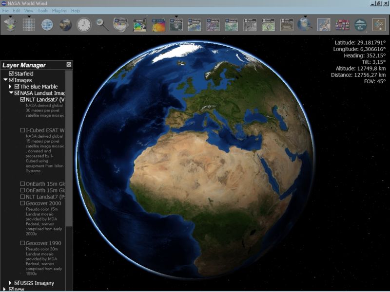
Less cluttered than Google Earth, with a simple toolbar array of clickable icons that enlarge when you mouse over them, World Wind's promising interface belied too many problems. More than half of those toolbar functions did not work, or were taking so long to render that we had to move on to other things--like sleep. No combination of settings could get the real-time weather maps to show up, nor did the Astrobiology Field Guide do anything at all, despite the cool name.
The Lewis & Clark Trail feature worked, as did the Landmark toggle, the switch from orthographic to topographic renderings, and the Zoom function, so there is hope. You can also look beyond Earth to other planets in the solar system. Some of the app's 3D renderings are very highly detailed, but only for a short list of specific places, like Death Valley.
At this point, though, we can't recommend bothering with World Wind when there are better functioning, more customizable global-mapping programs out there.
World Wind lets you zoom from satellite altitude into any place on Earth. Leveraging Landsat satellite imagery and Shuttle Radar Topography Mission data, World Wind lets you experience Earth terrain in visually rich 3D, as if you were really there. Virtually visit any place in the world. Look across the Andes, into the Grand Canyon, over the Alps, or along the African Sahara.